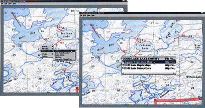
 For up to date fishing info, get a list of DNR maps and fish/lake surveys by right clicking your mouse on any lake and select 'Region Data | Search' from the popup menu. To view a map or survey just click the name of the document you want to see. There are over 625 fish/lake surveys and 600+ depth/soil/cover type maps available for you to view, edit or print. (*Editing DNR maps requires a picture editing software that supports .tiff files. Kodak Imaging software that comes with windows will let you view and print the DNR maps). |