| QuietJourney Forums | |
|
Boundary Waters / Quetico Discussion Forums >> Rendezvous in the Boundary Waters and Quetico >> Another suggested route to Brent...what do you think?
https://quietjourney.com/community/YABB.cgi?num=1200415571 Message started by Wally13 on Jan 15th, 2008 at 4:46pm |
|
|
Title: Another suggested route to Brent...what do you think? Post by Wally13 on Jan 15th, 2008 at 4:46pm
Thanks for the ealier responses for suggested routes to Brent from Prairie Portage in June.
Has anyone tried these 2 sugggested routes from Prairie Portage?: 1) towing to Back Bay to get to Basswood River the 1st morning then then to Crooked Lake, Gardner Bay, Cone, Brent 2) Basswood River, Moose Bay, Robinson, McIntyre, Brent ( the creek between Robinson and McIntyre can be nasty if water is low...and not sure about beaver dams on this creek? ... but if needed you could paddle around thru Cecil and Deer. I have never paddled thru Basswood Falls area...I was thinking of trying Basswood River route to Brent/Comnee on way in and paddling back to Prarie Portage via McIntyre, Sarah, Side, Isabella. Any route comments would be appreciated. Wally13 |
|
Title: Re: Another suggested route to Brent...what do you think? Post by wally on Jan 15th, 2008 at 5:14pm
Basswood river is easy enough....you're going with the current. It's scenic but will have traffic and camps occupied. Everyone should see it once.
Moose bay to Robinson is quite scenic in the fall and easy. From there on you're on your own. Mileage/timeage?.....I've paddled from Lower Baswood to Mudro takeout in a easy day. Robinson to Mudro takeout in a longer day. Lower Basswood to Fall Lake campground in a day. Idea...tow from Fall lake to narrows N of Jackfish....paddle from there. Would put you on Robinson by mid afternoon. |
|
Title: Re: Another suggested route to Brent...what do you think? Post by Solus on Jan 15th, 2008 at 9:09pm
Consider paddling to Ranger Bay after your tow and portaging into Kett to avoid crowds. The first portage to Kett is long but it is not difficult.
In low water the creek from Robinson to McIntyre has a solid sandy bottom and it is easy to drag canoes while wading. The route through Gardner Bay is long and it is a longer paddle than it looks from western Brent to the main body of the lake (good bass along the way though) If feeling adventurous on your return there is a beautiful route South from the big shallow bay in the center of Brent to Earl (Fishhook 1 portage north of Ted) and from southern Earl west through two unnamed lakes into the main body of McIntyre (to my knowledge these portages are only shown on the new Quetico Park Map). Beautiful portages, very little traffic. |
|
Title: Re: Another suggested route to Brent...what do you think? Post by Solus on Jan 15th, 2008 at 9:10pm
Oops I meant East from the south end of Earl (just before the hook)
|
|
Title: Re: Another suggested route to Brent...what do you think? Post by Wally13 on Jan 15th, 2008 at 9:24pm
Wally, Solus:
Thanks for the info. From Kett, which route do you prefer ?: 1) do you like to go thru Tuck, to Sarah then McIntyre to Brent or 2) Kett to Nub to Robinson to McIntryre to Brent Also, I don't like crowds either but do you think it is worth seeing Basswood Falls...have been to Louisa, Silver, Rebecca, Bottle and was glad to see in spite of the crowds. |
|
Title: Re: Another suggested route to Brent...what do you think? Post by Solus on Jan 15th, 2008 at 9:48pm
Wally is right it's worth the look, especially in high water. Portage is quite distant from upper Basswood falls. Lower Basswood is powerful to watch. I'd save the river for a spring or fall trip (not tied to Pr. Portage for border) and less Traffic.
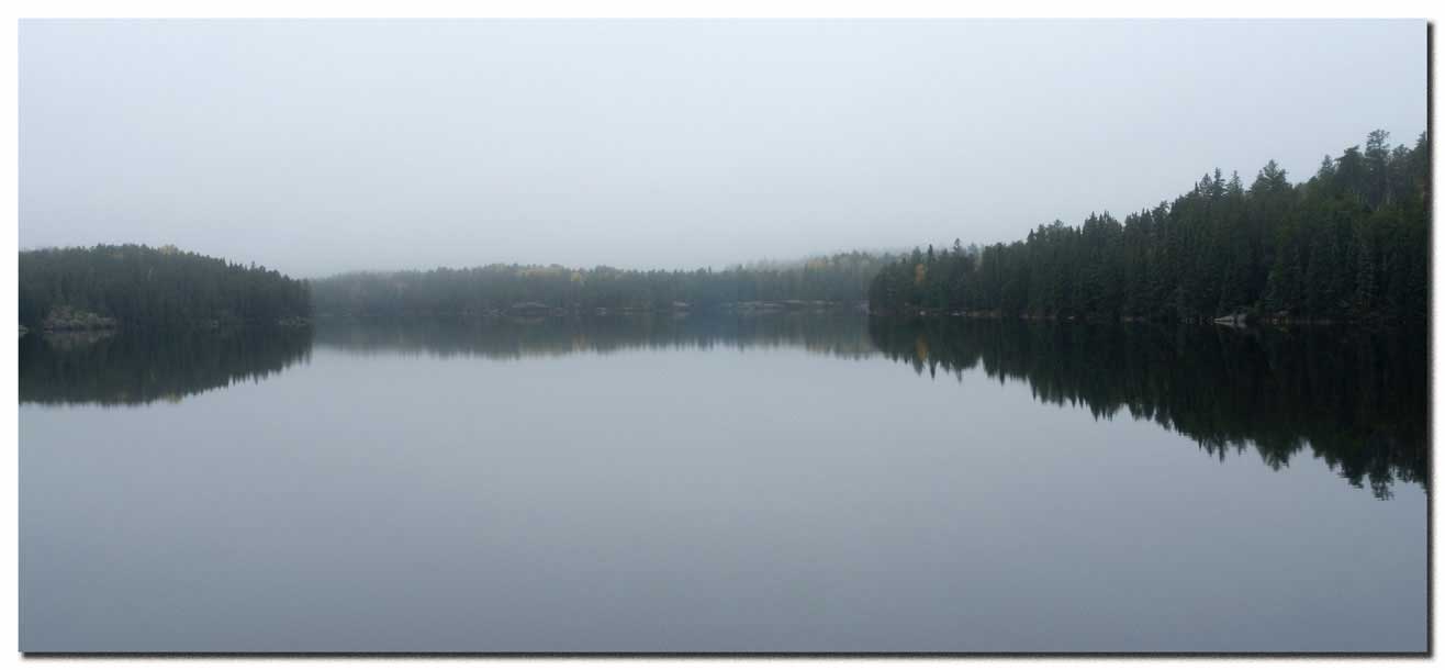
From Kett I'd go Tuck/Cecil McIntyre, since you are planning a Sarah return. A look at Kett in the morning kett2_2shdw_001.jpg ( 22 KB | 0
Downloads ) |
|
Title: Re: Another suggested route to Brent...what do you think? Post by wally on Jan 15th, 2008 at 10:07pm
Basswood portages are all easy.....Upper Basswood portage is a mile long....but a flat walk. Couple of places you can cut it off at 3/4 mi or 4/5 mi depending on water flowage and your desire to "shoot" some smaller rapids. Careful....some have drowned here. You have to side trip off the trail to see the upper falls. IMO, the lower falls are more picturesque.
Wheelbarrow falls can be portaged, or you can paddle the N side of the isle (Canadian side) and take the easier portage back S to the river (check your map). Man, I gotta do that Ranger bay--Kett trip sometime. |
|
Title: Re: Another suggested route to Brent...what do you think? Post by QPassage on Jan 15th, 2008 at 11:40pm
Basswod river is a beautiful route and going to McIntyre this way wouldn't be to difficult. If you get an early start at PP and tow to Back Bay you can eaily make it to the Lower Falls area or even Robinson Lake. Robinson is worth the extra effort the campsites there rate right up there with the best in Quetico.
(You need to Login or Register (You need to Login or Register (You need to Login or Register Heres a shot of Ranger Bay just before turning towards the river entrance. (You need to Login or Register If you get there early enough there is a nice campsite along the first Basswood River Portage, which overlooks the river. (You need to Login or Register Heres a shot of Wheelbarrow Falls (You need to Login or Register Then into Moose Bay as you can see it was grown over some on this Sept trip. (You need to Login or Register But beware of the McIntyre Creek Portage. It isn't that difficult but the first part out of Robinson can be a balancing act. Large boulders to walk on with big holes in between covered with moss. It's a broken ankle waiting for a place to happen. Here's the begining of the portage to McIntyre Creek from Robinson (You need to Login or Register This is part of the rocky area I refered to, back in the woods it is covered with moss. (You need to Login or Register Midway point where you can paddle or wade the creek. (You need to Login or Register And the campsite near the McIntyre west bay inlet. (You need to Login or Register Regardless which way you go in to MvIntyre from PP. You'll have a couple tough portages. I still think the fasterst way in is up thru Isabella or Point Lakes. That last portage into Brent from Cone Lake is a toughie just warning you on it. Pretty much straight up. qp |
|
Title: Re: Another suggested route to Brent...what do you think? Post by old_salt on Jan 16th, 2008 at 1:32am
Several years ago, we took the Basswood River route. QP has some nice pics to illustrate the route. We did the tow to the Back Bay portage and had no problems getting to Robinson in one day, even with our overloaded bear pinata. The rookie carried it. We opted for the chain route to McIntyre as we didn't think there was a portage directly into McIntyre. Our maps did not show one. We basecamped McIntyre and daytriped to other lakes. Our exit strategy was to pre-park a vehicle at Mudro, which is free now.
|
|
QuietJourney Forums » Powered by YaBB 2.6.0! YaBB Forum Software © 2000-2026. All Rights Reserved. |