Post by Riversend on May 27th, 2009 at 12:12pm
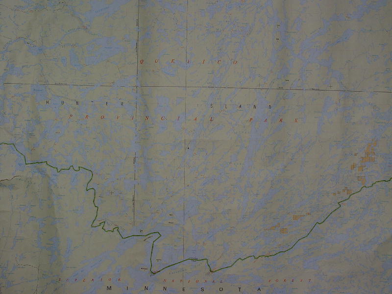
snowdog: one of the maps is a 1970 Providence of Ontario, Dept. of Land and Forests map titled "Agness Lake". It is 24"x17' and covers a good part of Q. Scale 1" to 2 miles. Several of the same series maps of covering the remaing portions of Q and a few U.S. G.S. quad maps (about 50) covering N.E. MN. and a couple 1948 Superior N.F. timber survey maps were also included :)
the drafting table to the right of the map case was also included in the lot of stuff I bid on, but those items aren't what I was bidding on, but I had to take them.......to get what I wanted ;D. The map case I wanted and was outbid on was Oak with brass hardware...now that was a nice map case ;D
 Quetico_map.jpg ( 66 KB | 2
Downloads )
Quetico_map.jpg ( 66 KB | 2
Downloads )
the drafting table to the right of the map case was also included in the lot of stuff I bid on, but those items aren't what I was bidding on, but I had to take them.......to get what I wanted ;D. The map case I wanted and was outbid on was Oak with brass hardware...now that was a nice map case ;D
Quetico_map.jpg ( 66 KB | 2
Downloads )