|
Maps for the Boundary Waters and Quetico ParkBoundary Waters Maps
|
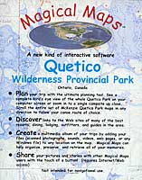 |
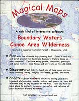
Magical Maps™ is a software program specifically designed to help plan your canoeing & fishing trips into Quetico Park or the Boundary Waters Canoe Area as well as a 'multimedia album' to record and share all your canoe trip memories. |
 |
|
Plan your trip with the ultimate planning tool. Instantly zoom in/out and scroll around the full set of McKenzie™
Maps that cover either Quetico Park or the Boundary Waters. These are
the same maps canoeists, outfitters and guides have been using, and
updating, on BWCA/Quetico canoe trips for decades.
Create a Multimedia album of your trips So you actually go other besides the BWCA or Quetico? Go to a complete list of features for
|
| Questions about ordering? (FAQ) | 
|
![]()
![]()